Gongjaksan Mountain (공작산)
About
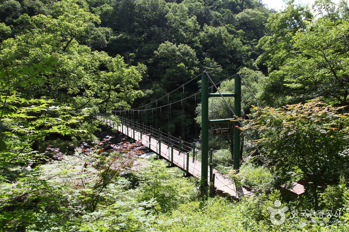
Gongjaksan Mountain, spreading out from the peak with an altitude of 887.4 meters, resembles the outstretched wings of a peacock (gongjak in Korean). Looking out from the top of the mountain, the entirety of Hongcheon County can be seen, as well as beautifully shaped cliffs spread throughout. Sutagyegok Valley is very picturesque with wonderful rock outcrops and surroundings. This 8 kilometer-long valley links Sutasa Temple, which is about 6 kilometers lower than the peak, to Nocheon-ri. Something for nearly every season with royal azalea flowers in spring, old pine trees and colorful foliage in fall, and snow-covered trees in winter, Gongjaksan Mountain's beauty catches the attention of hikers year-round.
Location
Hwachon-myeon, Hongcheon-gun, Gangwon-do (25154)
Rest Days
N/A (Open all year round)
Inquiries
• 1330 Travel Hotline: +82-2-1330 (Korean, English, Japanese, Chinese) • For more info: +82-33-433-1259
Mountain Not Access Period
Annual Forest Fire Prevention Period Feb 1-May 15 (Spring) / Nov 1-Dec 15 (Fall) * The period is subject to change depending on weather conditions.
Hiking Course
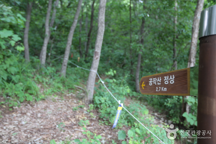
* Top of Gongjakgogae Ridge → Ridgeline → Summit → Coming down from the ridge on the right (4km, 3 hr 30 min) * Top of Gongjakgogae Ridge → Ridgeline → Summit → Water reservoir in Gulun-ri, Hwachon-myeon (5km, 5 hr)