


Gunwi-gun Palgongsan National Park (팔공산국립공원(군위군))
About
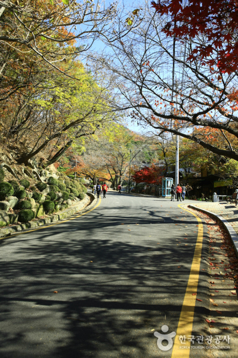
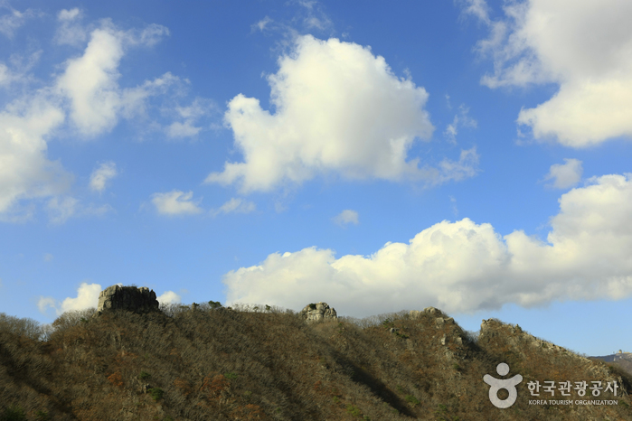
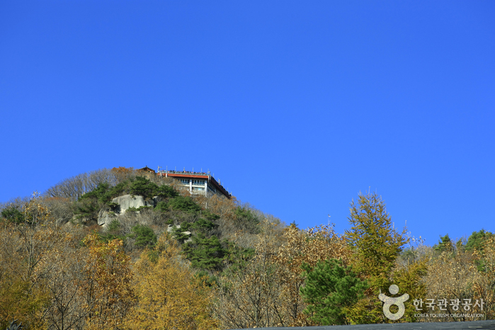
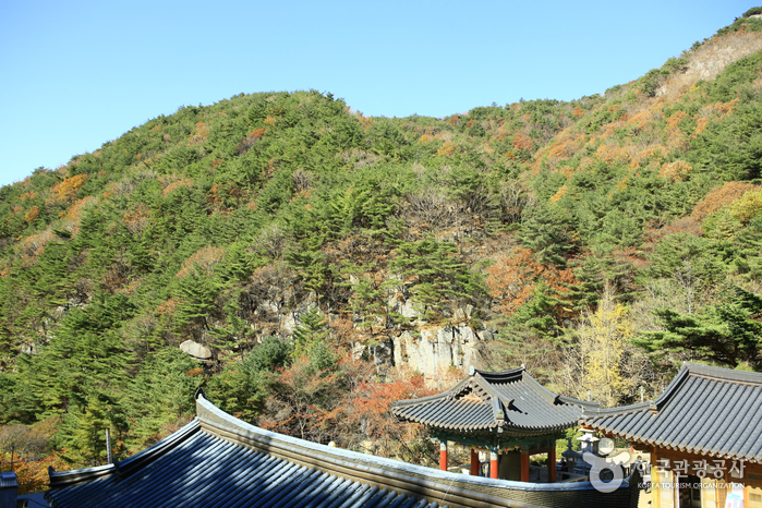
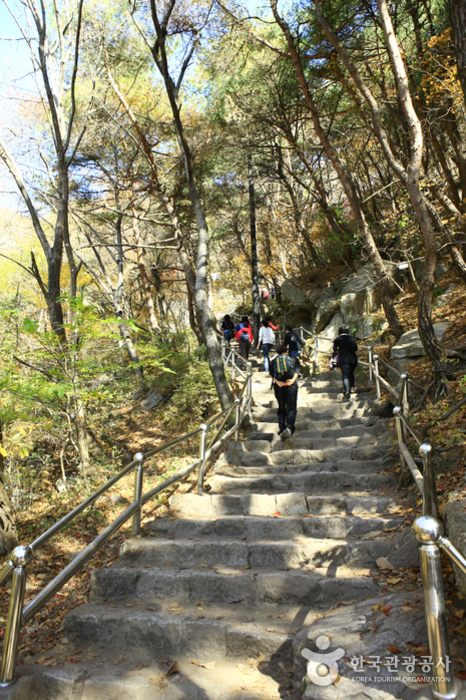
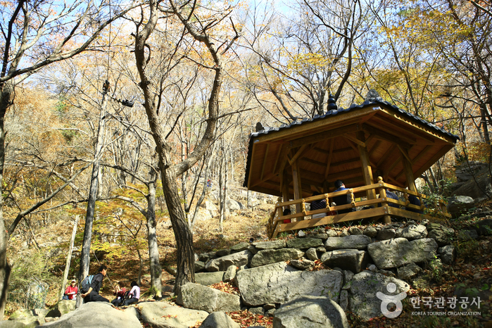
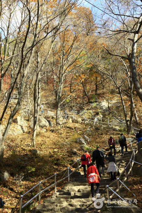
Palgongsan Mountain is located south of the Taebaek Mountain Range where the Nakdonggang and Geumhogang Rivers meet. The mountain stands high and stretches out like a folding screen. Near the top of the mountain, the granite protrudes in an odd shape creating a tall, grand geographical feature of the mountain. Furthermore, every valley is decorated with an exquisite rock face and lush forest adding to the mountain's reputation. Palgongsan Mountain was designated as a National Park in December 2023. The mountain has many ancient temples and historical sites such as the Gatbawi Stone Buddha, Wonhyosa Temple, Cheonseongsa Temple and Bulgulsa Temple.
Location
Namsan-ri, Gunwi-gun, Gyeongsangbuk-do (716-832,1)
Rest Days
* Subject to closure due to adverse weather conditions.
Parking
Available (Free)
Inquiries
+82-54-880-8300
Website
www.knps.or.krHiking Course
Palgongsan Mountain main course: 27.2 kilometers, 14 hours Eunhaesa Temple Course 1: 15.4 kilometers, 8 hours Gatbawi Course 1: 11.5 kilometers, 6 hours Gatbawi Course 2-1: 2.1 kilometers, 1 hour 10 min Gatbawi Course 2-1: 2 kilometers, 1 hour Chisangyegok Course 1: 8.5 kilometers, 6 hours Gasansanseong Course 1: 4.7 kilometers, 2 hour 10 min
Areas Open to the Public
Gyeongsan-si to Chilgok-gun: Gwanbong - Seonbonjae - Neupaejae - Domajae - Yeombulbong Peak - Dongbong Peak - Birobong Peak - Gasanbawibong Peak - Mulbulsan - Hantijae - Chikibong Peak - Gasanbong Peak - Gasanbawi Rock Chilgok-gun: Jinnammun Gate - Cheonjusateo - Yongbawi Rock Yeongcheon-si: Sudosa Temple- Gongsanpokpo Falls - Jinbulam - Dongbong Peak, Baekheungam - Jungangam - Neupaejae Gyeonsan-si: Seonbosa Temple - Yaksaam - Yongdeoksa Temple- Gwanbong Peak
Mountain Not Access Period
Seasonal Forest Fire Prevention Period Spring: March 2 - April 30 Autumn: November 1 - December 15 * Subject to change based on weather advisories, snow/precipitation levels, and other local conditions.
Restricted Mountain Areas
Chilgok-gun: Witsandang - Gasansanseong Fortress, Morajae - Gasanbawi Rock, Hakmyeong-dong (Dumusil) - Gasansanseong Fortress (Namporu), Yeorijae - Namporu - East Gate Yeongcheon-si: Sudosa Temple- Palgongpokpo Falls - Domajae Gyeongsan-si: Peokjeong (Gatbawi parking lot) - Neupaejae
Tour Course Information
Tour Course (1 day) 1. Daegu Airport - Palgongsan beltway - Gasansanseong Fortress - Samjonseokgul Cave - Daeyulli - Ingaksa Temple - Janggokri Recreational Forest - Hwasansanseong Fortress - Daegu 2. Daegu Airport - Yeongcheon Eunhaesa Temple - Ingaksa Temple - Gyeongbuk Neunggeum Juice Factory - Samjonseokgul Cave - Daegu Drive Course: Daegu - Pagyesa Temple - Palgongsan beltway - Hanti Rest Stop - Bugye Namsan-ri - Daeyulli (20 kilometers, 30 min)
Available Facilities
Campsite, hiking trails, rest area, picnic area, observatory, etc.
Restrooms
Available